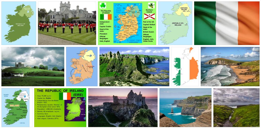
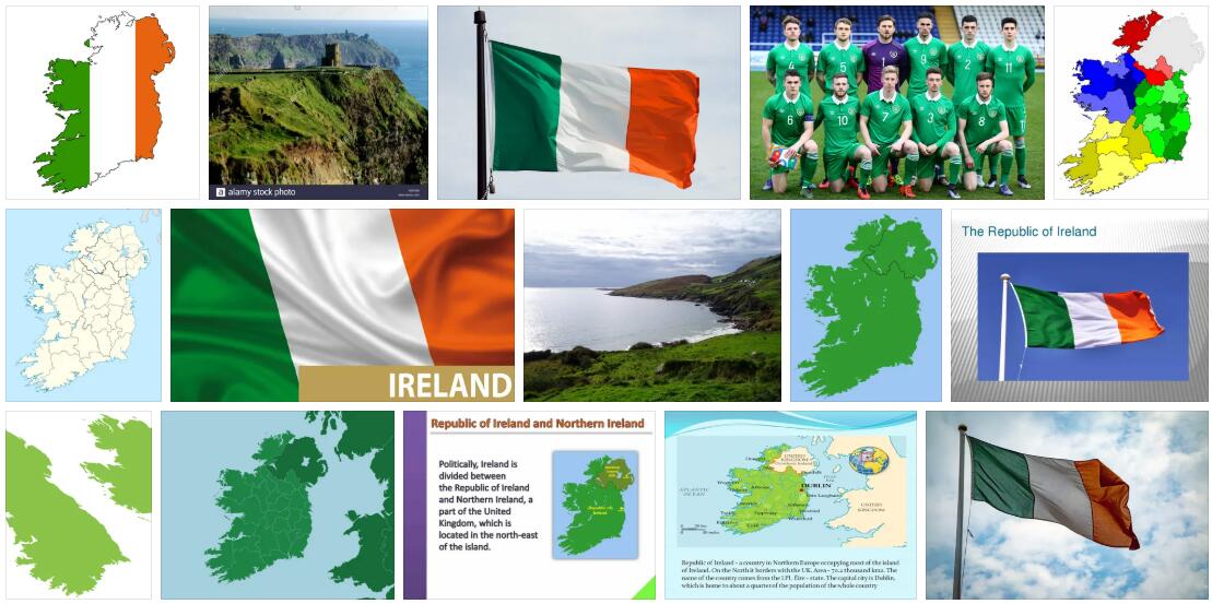
The island of Ireland is part of the British Isles. It is divided into the greater Republic of Ireland and Northern Ireland, which is part of Great Britain. The capital of the Republic of Ireland is Dublin on the east coast.
The island has a central lowland, which is mostly surrounded by mountain ranges. The coast is rich in bays, especially in the west. Large parts of the landscape are covered by moors that are used to extract peat.
State industrial funding led to the settlement of high-growth industries. Tourism plays a major role in the country’s economy.
Abbreviated as IE by ABBREVIATIONFINDER, the Republic of Ireland is located in north-western Europe and is surrounded by the Atlantic and is 83,500 km² in size. The North Channel, the Irish Sea and the Saint George’s Channel lie between the island of Ireland and Great Britain.
Surface shape
The landscape of Ireland was mainly shaped by the Ice Ages. Most of the island is covered by an extensive, flat undulating lowland with raised bogs and numerous lakes, which is surrounded by geologically ancient mountains. Only on the east coast near Dublin does the lowlands reach as far as the Irish Sea. In the interior of the island, it is interspersed with individual mountain ranges. The Carrauntoohil in the southwest is the highest point at 1041 m.
The mountains in the west – The Burren – are heavily karstified. Deep bays divide the coast in the west, north-west and especially in the south-west with peninsulas protruding deep into the Atlantic. The cliff coasts are particularly scenic, including the much-visited Cliffs of Moher, which drop down to the sea over a length of 8 km up to 200 m. The longest river is the 368 km long Shannon, which drains a large part of the central lowlands. The largest lake (of all British Isles) is Lough Neagh with 396 km².
Climate
The oceanic climate is mild and balanced and gives the Irish cool summers and mild winters (Fig. 3). It also results in high rainfall that decreases from west to east. Wind, sun, clouds, storm and rain often alternate on one day.
Vegetation
Ireland lies in the area of the deciduous deciduous and mixed forest zone. Still, there are hardly any closed forests. The formerly predominant oak forests have been largely cut down in the course of more intensive agriculture. In their place were wide grasslands since the 17th century. Ireland owes its nickname “ Green Island ” to them, and not just to the damp climate.
Moors provide fuel
A characteristic element of the Irish landscape are its peat bogs. After Finland, Ireland is the most moorland country in Europe. Around 17% of the country’s area is covered by moors. A distinction is made between raised bogs (4%), ceiling bogs (11%) and fens (2%). The development of the ceiling moors in Ireland, the forest began to be cleared for agriculture around 4500 years ago. The unprotected soils from the rain began to acidic. Weathering and leaching resulted in an acidic, nutrient-poor soil, the Podzol, which was then covered by thick layers of peat. The moors cover mountains and valleys like a blanket, especially in the north and west as well as in the central lowlands of the island. An essential prerequisite for the formation of overhead bogs is an annual rainfall of at least 1250 mm.
The peat extracted from the overhead bogsis an important supplier of energy. 11% of Ireland’s energy needs are met by peat (oil 51%, natural gas 18%, hydropower 1.5%, imported coal 18%). In the past, digging peat on private peat fields for domestic use was widespread. Today peat extraction is carried out commercially on huge peat fields, especially in the central lowlands. In 1950, a peat-based power station went online in Portarlington for the first time. In the foreseeable future, however, the large peat stores will be exhausted.
Important data about the country
| Surface: | 70 282 km² |
| Residents: | 4 million |
| Population density: | 57 residents / km² |
| Capital: | Dublin |
| Growth of population: | 1.1% / year |
| Life expectancy: (men / women) |
73/79 years |
| Form of government: | Parliamentary republic |
| Languages: | Irish and English are official languages. |
| Religions: | Catholics (about 94%) |
| Climate: | temperate oceanic climate |
| Land use: | Arable land 23%, pasture land 49%, forest 8% |
| Economic sectors: (share of GDP, 2003) |
Agriculture 3%, industry 42%, services 55% |
| Export goods: | electronic products, chemical products, electrical machines and devices, medical and pharmaceutical products, meat and dairy products |
| Gross domestic product: | $ 153,719 million (2003) |
| Gross National Product: | US $ 27 010 / residents (2003) |
Economy and Transport
Ireland is one of the poorer countries in the EU. It has been part of the European Monetary Union since 1999 (Fig. 5). More than 80% of the total area is used for agriculture. In the first place in agriculture is cattle farming with meat and dairy farming, followed by sheep breeding. In addition, pigs, goats and poultry are kept and horses, primarily riding horses, are bred. Forage, brewery and bread grains as well as root crops are grown on poor soils.
In addition to peat, natural resources such as zinc and lead ores and silver are mined. There are also reserves of lithium, gold, tungsten, barite, coal and uranium. Natural gas has been produced off the south coast since 1978.
The traditional industry processes the agricultural products in dairies, mills and breweries and produces meat and fish products, sugar, whiskey and tobacco products. Tweed production also has a special reputation. The government has been promoting the settlement of foreign industrial companies through high investment grants since the 1960’s. This brought mainly export-oriented industries (mechanical engineering and vehicle construction, electrical, electronics, chemical and pharmaceutical industries and metal processing) into the country. The Industrial Development Authority (IDA) has provided entire site complexes with the necessary infrastructure and prefabricated industrial buildings. The best-known example is the Shannon Industrial Estate, which was built on the free trade area of Shannon Airport.
The main trading partners are the EU countries – especially Great Britain -, the USA, Sweden and Canada. Tourism is of ever increasing importance, benefiting from the island’s scenic beauty, the numerous testimonies of early Christian culture with churches and stone crosses and the special lifestyle of the Irish. About a third of the tourists are emigrants who want to visit family members and friends.
In addition to a well-developed road and rail network, Ireland has the Shannon and Grand Canal navigable inland waterways. The international air traffic is carried out by the airlines “Aer Lingus” and the low-cost airlines well known private “Ryan Air”. The most important airport is Dublin, other international airports are Shannon Airport and Cork. The largest commercial ports are Dublin, Waterford, Galway and Cork. Rosslare, Dun Loaghaire and Cork have ferry ports.
History
around 2600 BC BC: The Celts establish themselves in Ireland.
430–460: Ireland becomes Christian through PATRICK’s missionary work.
from 1169: Conquest by Anglo-Normans from Wales. English rule over Ireland begins.
1649/50: OLIVER CROMWELL bloodily crushes uprisings of the Irish population and settles English and Scottish settlers (Protestants).
1800: Under constitutional law, Ireland is completely incorporated into the United Kingdom of Great Britain and Ireland. National uprisings continue.
1845–1849: Great famine as a result of potato rot and poor harvests. Around 1 million people die and the same number emigrate.
1919–1921: The Irish struggle for freedom claimed numerous victims. The Anglo-Irish treaty of 1921 leads to the separation of Northern Ireland and the establishment of the Irish Free State.
1949: The Free State of Ireland leaves the Commonwealth and declares its independence as the Republic of Ireland. Northern Ireland remains with Great Britain.
1973: Ireland becomes a member of the EC (EU).
1998: The Republic of Ireland renounces the reintegration of Northern Ireland.