Iceland consists of islands in the North Atlantic south of the Arctic Circle. The country is located on the mid-Atlantic ridge, 970 kilometers west of Norway.
Large parts of Iceland are bare plateau-built from basalt from the Tertiary era or lava and tuff from recent times.
Location
Iceland is located 287 kilometers southeast of Greenland, 420 kilometers northeast of the Faroe Islands, 798 kilometers northwest of Scotland and 970 kilometers west of Norway. The northernmost point on the mainland is Hraunhafnartangi, 66 ° 32ʹ n.br. (on the islands: Kolbeinsey 67 ° 10ʹ); southernmost point: Dyrhólaey 63 ° 24ʹ no. (on the islands: Surtsey 63 ° 18ʹ AD); easternmost source: Gerpir 13 ° 30ʹ fl; westernmost: Bjargtangar 24 ° 32ʹ fl.
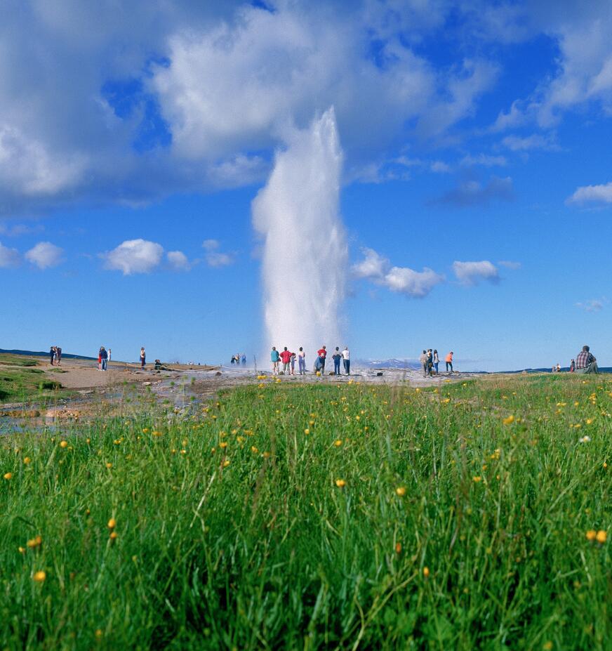
Strokkur is Iceland’s most famous geyser, has eruptions every 6-10. minute and boiling hot water up to 20 meters.
Landforms
Large parts of Iceland are bare plateaus at 300-700 meters above sea level. The plateau is built of basalt from the Tertiary era or lava and tough from recent times. Among the few islands are Vestmannaeyjar. The plateau is divided by valleys and fjords, and isolated mountain regions protrude higher, usually covered by glaciers. The snow limit varies from 750 meters above sea level in the northwest to 1500 meters at the northern edge of Vatnajökull, which is Iceland’s largest glacier, 8300 square kilometers.
In total, about 11 percent or 11,920 square kilometers are covered by glaciers. Some high volcanoes rise through the ice, including Öræfajökull where Iceland’s highest peak Hvannadalshnúkur lies, 2110 meters above sea level, and Hekla 1491 meters above sea level. In total, there are about 150 volcanoes in Iceland, of which about 30 have been operating in historical times with at least 140 eruptions. Hekla alone has had 15 known eruptions, most recently in 1970. At a submarine eruption in 1963, the volcanic island of Surtsey arose, with an area of 1.6 square kilometers.
The most devastating eruption of history was the crater Laki west of Vatnajökull in the years 1783 and 1784, when ash and poisonous gases were spread across the country causing famine. In 1973, an outbreak occurred next to Helgafell in Vestmannaeyjar. The inhabitants had to leave the partially destroyed city temporarily. The last outbreak before this was 6000–8000 years ago. Among the ice-covered volcanoes, Katla in the south is covered by Mýrdalsjökull. When such volcanoes erupt, the ice thaws, and a violent flood, called glacier run, occurs.
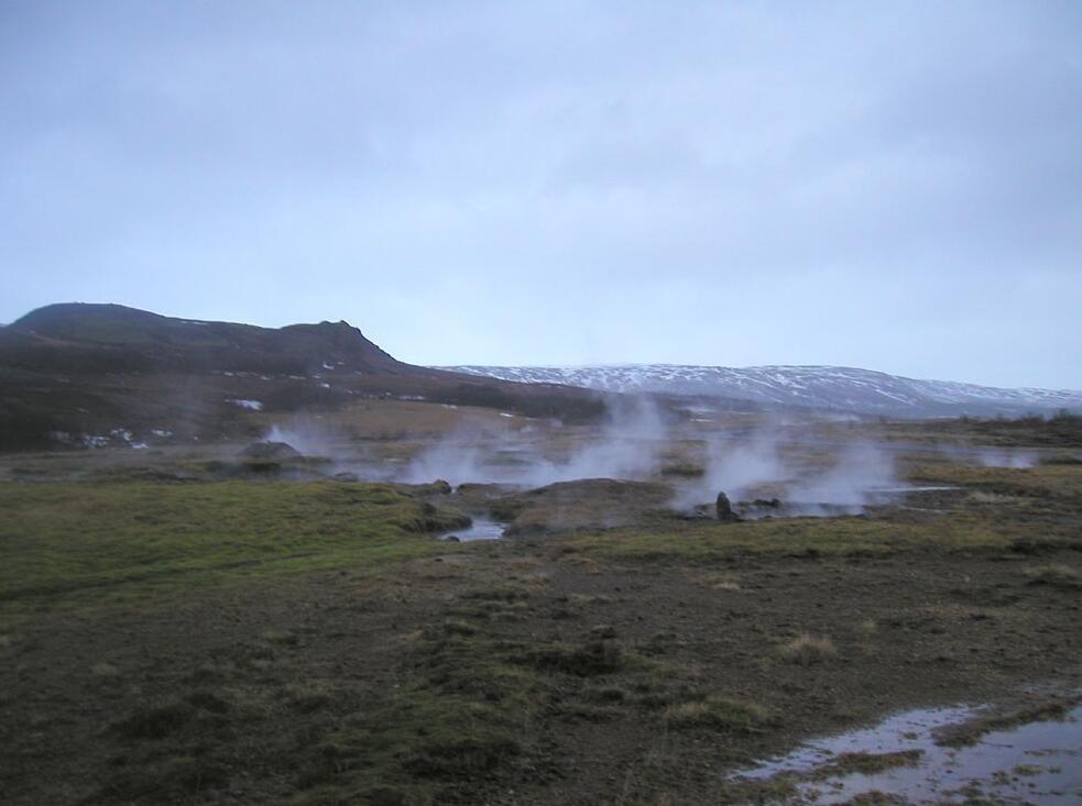
In the southwest lies Iceland’s largest lowland area, where valleys enter the country, including along the rivers Þjórsá and Hvitá. In this area there are many hot springs, which are otherwise scattered throughout the country in a total number of 700, and here is the largest settlement. The lowland further east on the south coast, on the other hand, has almost no settlement. It is formed of sand and gravel from the meltwater rivers, which change their course and spread out over the flat, scanty landscape, Skeiðarársandur. In the northeast, the large valleys are built only in the lower parts.
Otherwise, the settlement in the north and east is concentrated to the fjord bottom and to other good fishing ports. Iceland is Europe’s thinnest populated country, with 3.1 inhabitants per square kilometer.
Most rivers come from glaciers and carry a lot of sludge with them. They have great water flow and often flood due to the sparse vegetation in higher areas.
Geology
Iceland is almost entirely made up of volcanic rocks, essentially basaltic. Some sediments from younger tertiary with brown coal (surtabrandur) and fossils show that the climate at that time was warmer than now. Iceland lies where the ridge between the Faroe Islands and Greenland crosses the mid-Atlantic ridge. This is where the opening of the Atlantic takes place, and the country is constantly expanding. The easternmost and westernmost part is oldest (from tertiary), while the middle one is from quaternary, to some extent even younger. Most active volcanoes are in this scatter zone.