The Federal Republic of Germany is located in Central Europe. It can be subdivided into four major landscape areas: the North German lowlands, the low mountain range threshold, the Alpine foothills and the Alps. The highest point in Germany lies in the Alps, the 2962 m high Zugspitze.
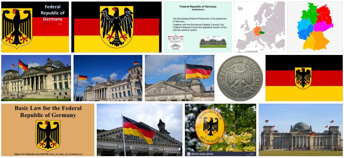
As a result of the Second World War, Germany was divided into two states, which were reunified in 1990. Berlin has been the capital of the state made up of 16 federal states since 1991. Germany’s society and economy developed very differently in the two German states, the consequences of which can be felt more than ten years after reunification. With a generally high standard of living, there is a clear prosperity gap between west and east.
Abbreviated as DE by ABBREVIATIONFINDER, Germany is one of the most populous countries in Europe and one of the leading economic powers with worldwide relationships. High-performance industry and the growing service sector are the most important economic sectors. The country played a major role in the European unification process. Germany is a member of the euro zone.
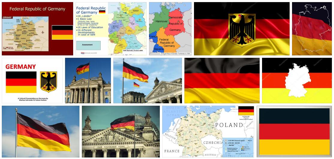
The Federal Republic of Germany borders the North Sea, Denmark and the Baltic Sea in the north, Poland and the Czech Republic in the east, Austria and Switzerland in the south, France in the west and Luxembourg, Belgium and the Netherlands in the north-west (Fig. 1).
Germany includes the East Frisian Islands in the North Sea, Heligoland and most of the North Frisian Islands, in the Baltic Sea Fehmarn, Poel, Rügen, most of Usedom and smaller islands. Germany extends from north to south over a maximum of 876 km and from east to west over 640 km.
In administrative terms, Germany is divided into 16 federal states, three of which – Berlin, Hamburg, Bremen – are city states (Fig. 2).
Important data
| Surface: | 357,022 km² |
| Residents: | 82.5 million |
| Population density: | 231 residents / km² |
| Growth of population: | 0.1% / year |
| Life expectancy: (men / women) |
75/81 years |
| Form of government: | democratic-parliamentary federal state |
| Capital: | Berlin |
| Languages: | German is the official language |
| Religions: | Catholics 33.1%, Protestants 33%, Muslims 3.7%, Orthodox 1.4% |
| Climate: | Transitional climate of moderate latitudes |
| Land use: | Arable land 35%, pasture land 15%, forest 30% |
| Economic sectors: (share of GDP, 2003) |
Agriculture 1.1%, industry 27.7%, services 70.3% |
| Export goods: | Road vehicles, machines, chemical and electrotechnical products, clothing |
| Gross domestic product: | 2,403 US $ 160 million (2003) |
| Gross National Product: | US $ 25,270 / residents (2003) |
Surface shape
Germany belongs to four different landscape areas (Fig. 3). The North German lowlands extend from the North or Baltic Sea coast to the low mountain range threshold, a richly structured landscape. About south of the Danube begins the gently undulating Alpine foothills, which in the south extend to the Alps.
The North German lowlands adjoin the coasts of the North and Baltic Season. It was shaped over the Ice Age and extends far to the south in the Lower Rhine and Westphalian Bays as well as in the Leipzig lowlands. In the west, the landscape is characterized by marshes, geest plates, flat sand areas and moist lowlands. The Lüneburg Heath is a particularly extensive geest landscape on the terminal moraine of the southern ridge. In eastern Germany the young moraine of the northern ridge runs from eastern Schleswig-Holstein to the Polish border. The Mecklenburg Lake District and Märkische Schweiz belong to this flat undulating landscape. Extensive lowlands are the Oderbruch and the Spreewald as well as the largest German floodplain forest area, the UNESCO Elbe River Landscape Biosphere Reserve. The fertile Börde zone consisting of loess swell
The low mountain range thresholdis divided into some larger low mountain range systems and individual mountain ranges. In the west lies the Rhenish Slate Mountains with the Eifel, Hunsrück, Bergisches Land, Sauerland, Rothaargebirge, Westerwald and Taunus. To the east, to name but a few, Weserbergland, Hessisches Bergland, Harz, Thuringian Forest, Ore Mountains and Elbe Sandstone Mountains with the Saxon Switzerland National Park. Remnants of mostly tertiary volcanism surface in the Westerwald, the Eifel, the Vogelsberg, the Rhön and the Kaiserstuhl. Large and small basin landscapes such as the Thuringian Basin extend between the low mountain ranges. The Upper Rhine lowland in southwestern Germany, between 30 and 50 km wide, is a tectonic fracture zone. It is flanked by the Palatinate Forest, Vosges, Odenwald and Black Forest. Beyond the Black Forest and Odenwald, the Swabian-Franconian layered plain, framed by the karst areas of the Swabian and Franconian Alb, unfolds like a fan to the northeast to the Danube and at the foot of the Upper Palatinate Forest and the Bavarian Forest. A special feature is the meteorite crater of the Nördlinger Ries between the Swabian and Franconian Alb.
The foothills of the Alps, which reach as far as the Danube, are similar in their surface forms to the North German lowlands because of the widespread cover with ice age deposits, but at 400 to 800 m it is much higher. The original Alpine rim depression is filled with deposits from the rivers coming out of the Alps. In front of the edge of the Alps, the terminal moraine wreaths of the alpine glaciers enclose the young moraine hill country with its many lakes, including Lake Constance, Lake Starnberg, Tegernsee and Chiemsee. In front of the extensive old moraine area is the partially loess-covered Tertiary hill country in the northeast.
The German part of the Alpsis only slight. The forested Flysch foothills, the higher chains of the limestone foothills and finally the northern limestone Alps with the Allgäu Alps, the Wetterstein and Karwendel Mountains and the Berchtesgaden Alps follow the level of the foothills or marginal Alps. The 2962 m high Zugspitze in the Wetterstein Mountains is the highest point in Germany.
Waters
With the exception of the Rhine, which comes from the Alps, the largest rivers in Germany originate in the low mountain range. The river systems of the Rhine, Weser, Elbe and Oder drain to the North or Baltic Sea, only the Danube turns east towards the Black Sea. All are important inland waterways. The longest and richest river in Germany and one of the most important rivers in Europe is the 1320 km long Rhine. 865 km of this are in German territory. The Rhine is the main artery of an extensive Central European waterway network. There is a connection to the Danube via the Main and the Main-Danube Canal.
Most of the lakes owe their formation to the ice ages, including the largest lake in Germany with 572 km² and deepest lake at 254 m, Lake Constance. TheLakes accumulate on the lake plateaus in the northern ridge (Holstein Switzerland, Mecklenburg lake plateau with the Müritz) and in the young moraine hill country of the alpine foothills. Artificial reservoirs were also created in the Alps and some low mountain ranges.
Climate and vegetation
Germany lies in the temperate climate zone. Due to its central position between the maritime climate of Western Europe and the continental climate of Eastern Europe, it can also be described as a typical transitional climate. The difference between north and south is weakened by the altitude of the southern parts of the country. Westerly winds bring enough moisture from the Atlantic so that rainfall falls in all seasons. The temperatures record a maximum in July and a minimum in January (Fig. 8). Local deviations in the temperature curve and in the amount of precipitation are frequent. The windward sides of the mountains have higher amounts of precipitation than the lee sides. In the protection of mountains, heat islands like those of the Upper Rhine lowlands have been able to develop.
Germany lies in the Central European zone of deciduous deciduous forests. A pine-oak forest dominates the sandy soils of the North German lowlands, which if destroyed by humans, degrades to a heather area. In this way z. B. the Lüneburg Heath emerged. The forest areas of the low mountain ranges show a strong species differentiation. The ridges, occasionally with raised bogs, are often free from forests. The mixed mountain forest type includes the vegetation of the Alpine foothills and the Alps, interspersed with numerous moors. The natural tree line is around 1800 m above sea level.
Education
The education system is subject to the cultural sovereignty of the federal states. General compulsory schooling is 9 to 10 years, depending on the federal state. The generally four-year elementary school is followed by the Hauptschule or Realschule, Gymnasium or Gesamtschule. In some countries, testing, orientation, observation or support stages are interposed. The school is generally followed by the three-year vocational school if no further technical college or university is attended. In accordance with the requirements of the Unification Treaty, the new federal states basically adopted the structures of general and vocational education.
Economy
Germany is one of the world’s leading industrial nations with a correspondingly high standard of living. Reunification in 1990 brought together two states that had been economically and politically separated for more than 40 years. With the creation of the monetary, economic and social union, the GDR was removed from the planned economy and integrated into the system of the social market economy.
Agriculture
In contrast to the cultivation structures, the structure of the farms in West Germany and East Germany is very different. In the old federal area, family farms predominated, while in the eastern part, after the forced collectivization, state or cooperative large farms, mostly specialized in plant or animal production, emerged.
The main crops are wheat, barley, rye, oats, rape and grain maize. Potatoes and sugar beets predominate among root crops, silage maize and beetroot among fodder crops. In the north German lowlands you will find mainly mixed farms with arable farming and cattle or pig breeding, while in the low mountain ranges and in the Allgäu the focus is on livestock farming. Grain and sugar beet cultivation dominate the Börden landscapes. In the production of high-quality animal processing products such as milk, butter, cheese and quark as well as pork and beef, Germany and France are at the top of the EU countries. In the area of special crops, Germany has world renown only in hop cultivation. With the exception of a few small growing areas in Saxony and Saxony-Anhalt, wine production takes place almost exclusively in western Germany. Of the 9.5 million hectares of forest area, 58.1% used for forestry. Two thirds are mainly pine and spruce coniferous forests and one third are deciduous forests with a high beech population. The most important German fishing area is the North Sea, followed by the western British waters and the Baltic Sea. The high seas are mainly caught in Cuxhaven and Bremerhaven. Rostock has largely lost its importance as a fishing port for the greatly reduced East German fishing fleet.
Mining and power industry
Germany is a country that is rather poor in raw materials. The deposits of lignite, hard coal and salt are important. After Russia and the USA, Germany has the third largest economically usable lignite deposits in the world. The largest deposits are located in the Lower Rhine Bay and in the Leipzig lowland bay and in Niederlausitz. The mining of the abundant hard coal deposits in the Rheinisch-Westfälische industrial area, in the Aachen area and in the Saar area is declining sharply. Other mineral resources are the rock salt deposits in Lower Saxony and Bavaria, the potash salts in Lower Saxony, Hesse, Thuringia and southern Baden, the oil deposits in northwest Germany and the natural gas deposits in the North German lowlands, in Saxony-Anhalt, in the Upper Rhine lowlands and in the Bavarian Alpine foothills. The most important energy source is crude oil, followed by natural gas, hard coal and lignite. The share of nuclear power plants in the Energy generation is still just under a third, but is to be reduced until the planned complete phase-out of the use of nuclear energy. In contrast, the use of alternative energy sources such as sun and wind is to be expanded. In Germany, hydropower currently accounts for just under 4%, renewable energies such as sun and wind account for around 2%.
Industry
German industry is involved in global trade in many product areas. This applies to the mechanical and automotive engineering, metal production, chemical and electrotechnical industries, plant engineering, the armaments industry and also in the aerospace industry.
The regional and sectoral distribution of industry is very different within Germany. Traditional centers are the mining and heavy industrial regions such as the Ruhr area, Saarland, southern Thuringia, Saxony, Saxony-Anhalt and Berlin. Then there are the large seaports and the Hanover-Braunschweig-Salzgitter-Peine area. In the meantime, the conurbations of Rhine-Main, Rhine-Neckar, Nuremberg-Erlangen and Munich have grown significantly as locations for the high-growth branches of chemistry, electrical engineering, electronics, mechanical engineering and vehicle construction.
Service and transport
Today, two thirds of all employed people are employed in the constantly growing service sector. The tourism industry alone employs around 2.6 million people. With its diverse landscapes and cultural sites, Germany is a popular travel destination for national and international tourism and ranks fourth behind France, the USA and Spain in an international comparison. Road traffic predominates in goods transport and public passenger transport. The road network of supra-local traffic was made possible by new buildings, especially in the course of the implementation of the German Unity transport project greatly expanded (Fig. 13). Nevertheless, the road network is often overloaded during rush hour. After all, 42.9 million cars were registered in Germany in 2000; For every 1000 residents there were 522 cars. The rail network of Deutsche Bahn AG is constantly being reduced. Since 1998, unprofitable routes have been closed, especially in the new federal states. Since 1991 the Intercity (ICE) network has been expanded for high-speed traffic.
Inland shipping primarily transports sand and gravel as well as heating oil and fuels. The largest inland port is by far Duisburg; the most important inland waterway is the Rhine. The number of merchant ships continues to decline. The largest German seaport is Hamburg, followed by Wilhelmshaven, Bremerhaven, Lübeck and Rostock. The air traffic is denied especially by the “Deutsche Lufthansa AG”. The largest airports are Frankfurt am Main, Munich, Düsseldorf and, from 2012, the new Berlin Brandenburg Airport near Schönefeld.
From history (after 1990)
With the formation of the economic, monetary and social union, which came into force on July 1, 1990, the different economic systems of the two German states were brought into line. The state treaty negotiated between the GDR and the FRG determined October 3, 1990 as the date of the GDR’s accession to the FRG. After the four victorious Allied powers agreed to this step, the existence of the GDR as a state ended on this date. The first all-German elections on December 2, 1990 were confirmed by the CDU / CSU-FDP coalition government under Federal Chancellor HELMUT KOHL. The restructuring of the legal, economic and social order in the new federal states achieved great domestic political importance for the first all-German government.